IMPORTANT: *REQUIRES* ArcGIS Online Named User account.
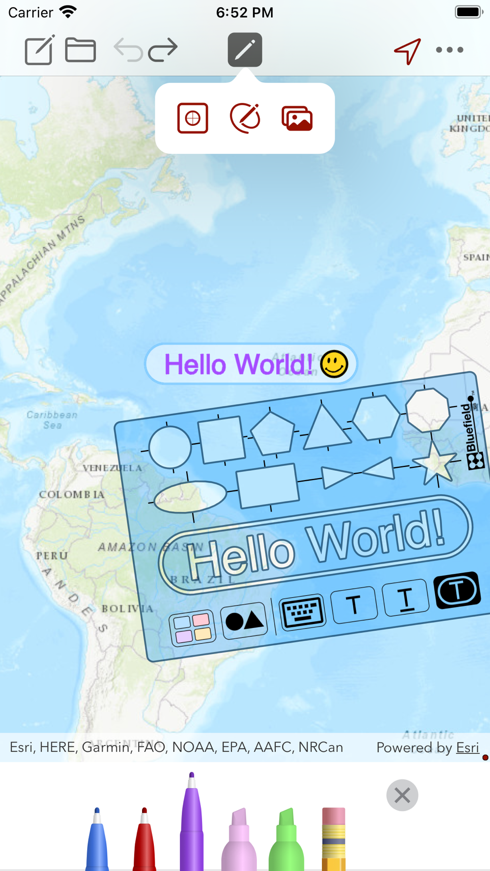
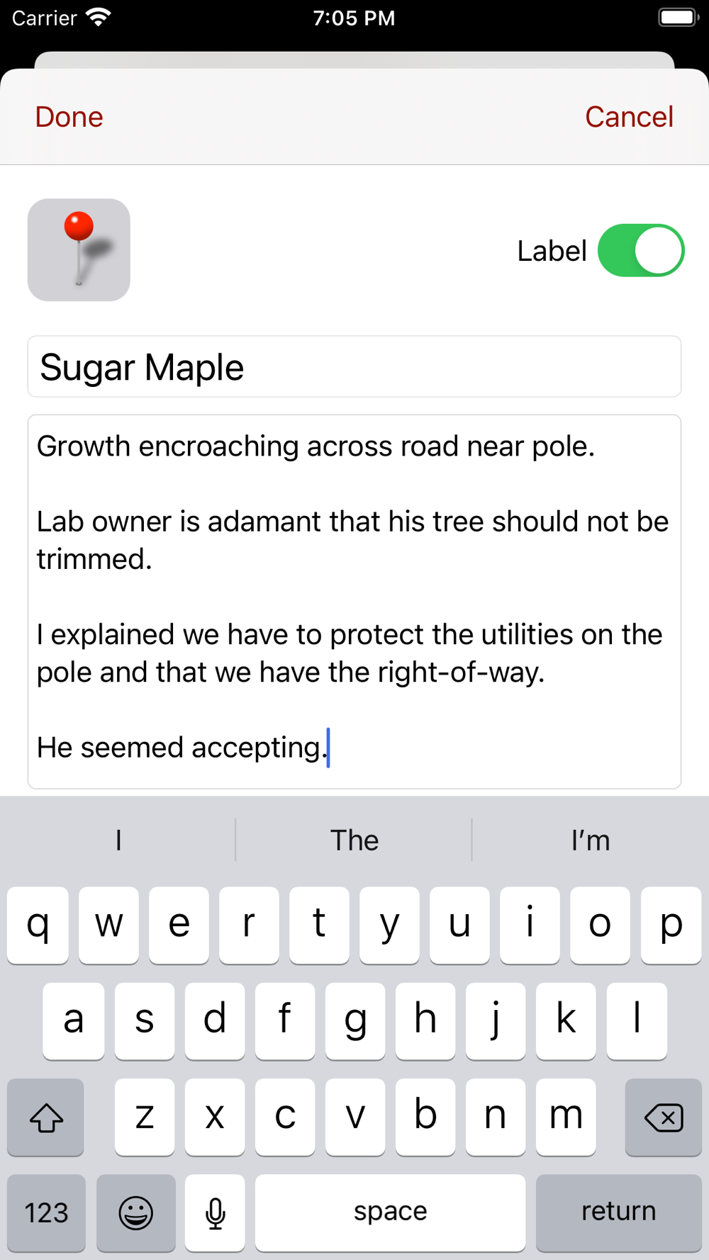
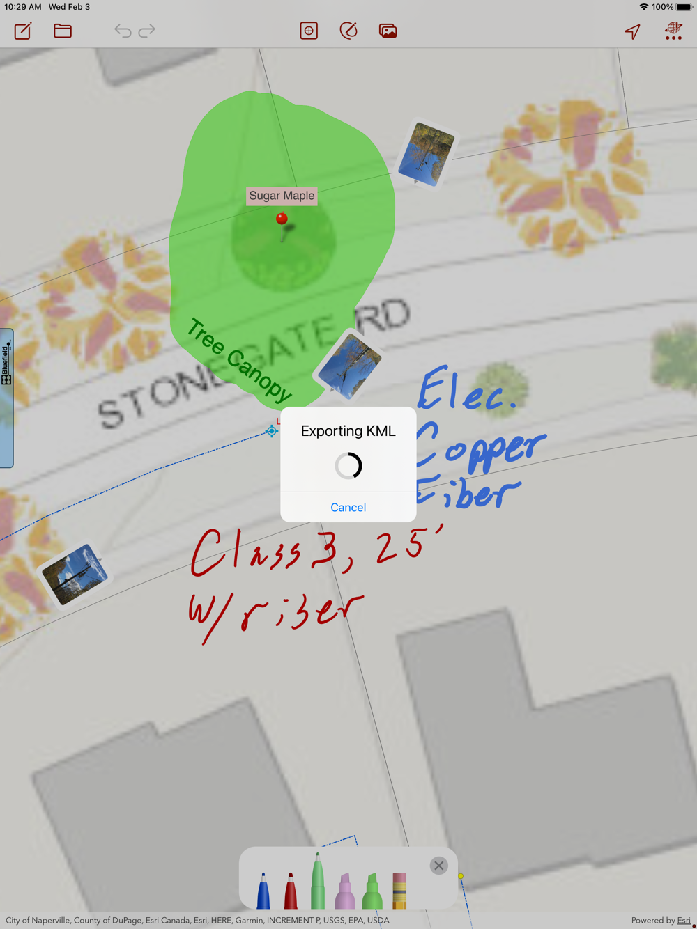
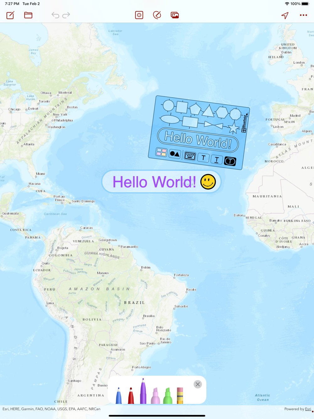
Map notes on your web maps made easy. Draw Maps for ArcGIS gives you color pens and pencils to make sketches and take notes anywhere in the map. Add map pins and photos to note important locations. Think of the whole world as being your sketch pad. Move around and zoom to different scales as you draw. Your notes and photos are instantly available in your ArcGIS Online organization as standard features. Collaborate with others on one map in near real-time (multi-user notes). Take notes while offline using downloaded map packages. Share your maps with friends and business associates.
Features:
- Draw and highlight in the map
- Place colored map pins in the map and add long form notes
- Place photos in the map
- Draw and highlight in the photos
- 72 colors
- Use the stencil to draw perfect shapes or labels
- Move and zoom the map as needed while you draw
- Join collaborations hosted in web maps that are Draw Maps enabled
- Take your maps offline with Map Package Download
- Create documents on the device and draw using any web map or basemap as your background
- Send images of your map drawings to other people
- Send your Draw Maps Document to another Draw Maps user
- Send KML
- Archive your Draw Maps Document to online storage
- Make as many maps and join as many collaborations as you like
- Works great with Apple Pencil
Example use cases:
- Mining: Take field notes while prospecting (where there is no cell coverage)
- Real Estate: Sketch alternatives while meeting with clients
- Utilities: Survey damage the day after a storm
- Contracting: Document your finished work and include with deliverables.
Currently supports drawing on any ArcGIS Online web map. Please contact us if ArcGIS Enterprise support a requirement.
Currently supports English, Finnish, French, German, Indonesian, Portuguese, Spanish, and Thai.
 pt
pt
 English
 Español
 Русский
 Deutsch
 Français
 العربية
 Italiano
 Türkçe
 Polski
 Português
 Indonesia
 日本語
日本語