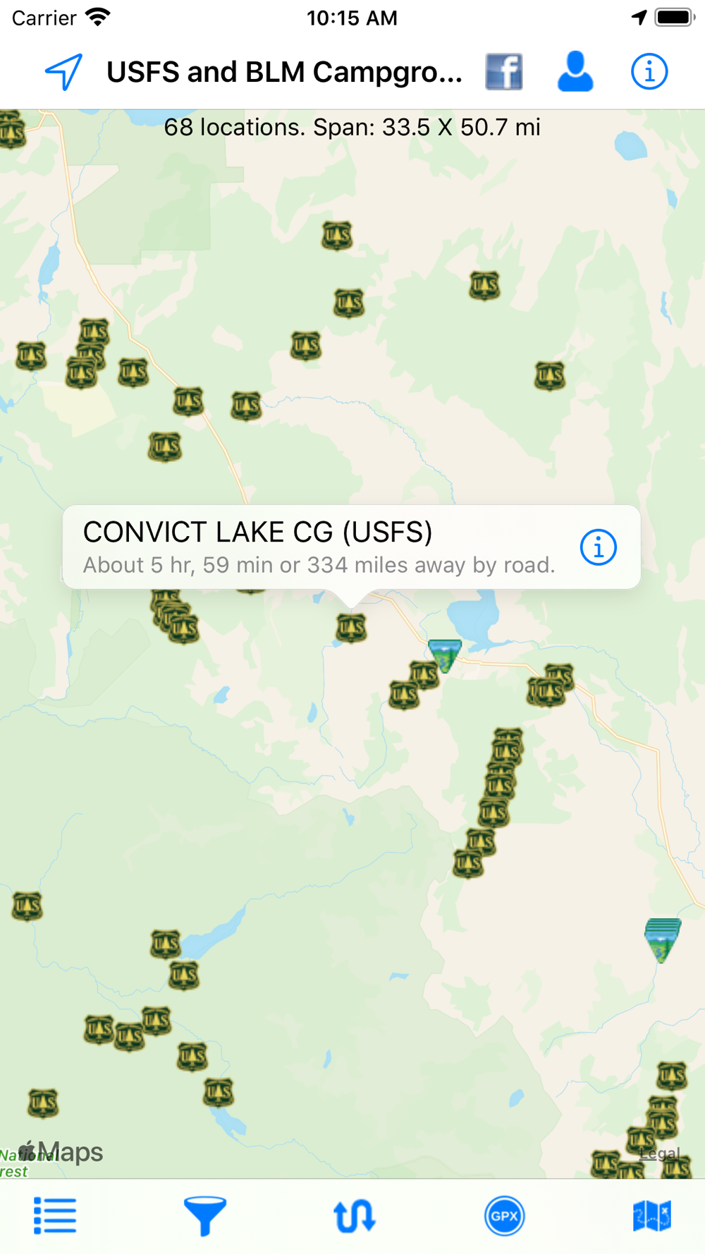
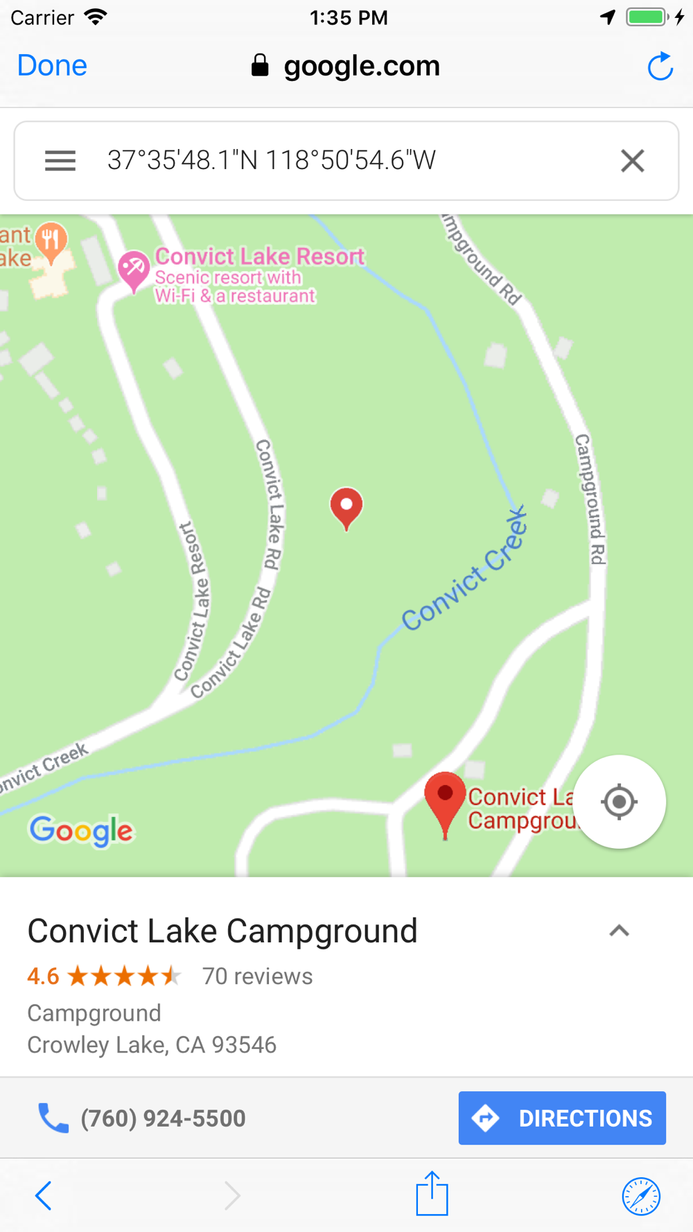
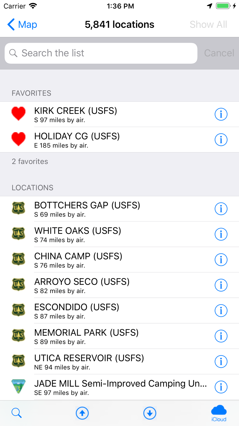
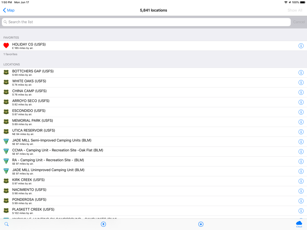
This app shows over 5,800 United States Forest Service (USFS) and Bureau of Land Management (BLM) campgrounds throughout the USA.
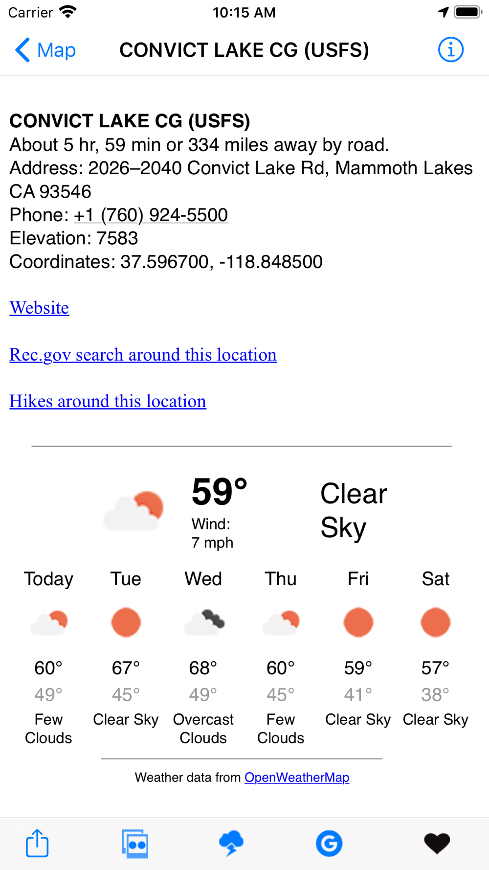
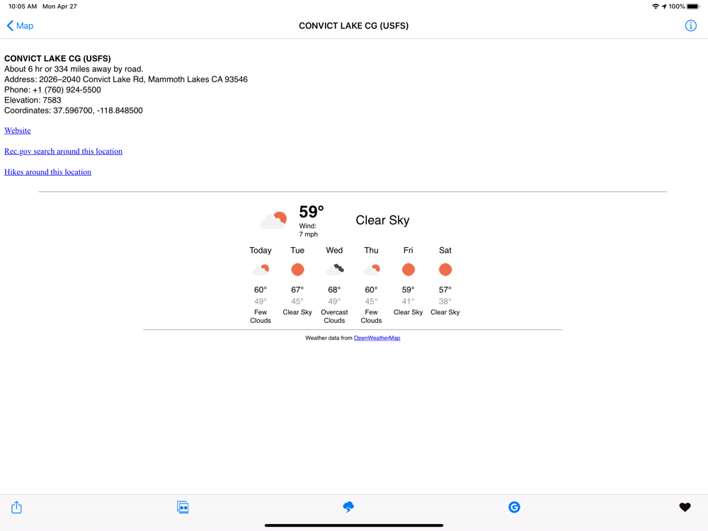
These types of campgrounds tend to be low cost or free. Each location displays the campground name, which agency administers it (BLM or USFS), the local weather, elevation, Internet images and searches of the campground, Flickr geotag search, rec.gov info, and more. Easily locate the campgrounds nearest you. Send location data directly to our Road Trip Planner app.
Import routes from GPX files. This makes it much easier to find locations along your route.
- Show a route between your location and the campground.
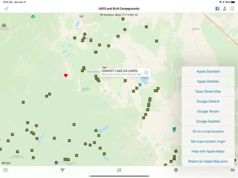
- Map layers include Apple, Google, and Open Street Maps.
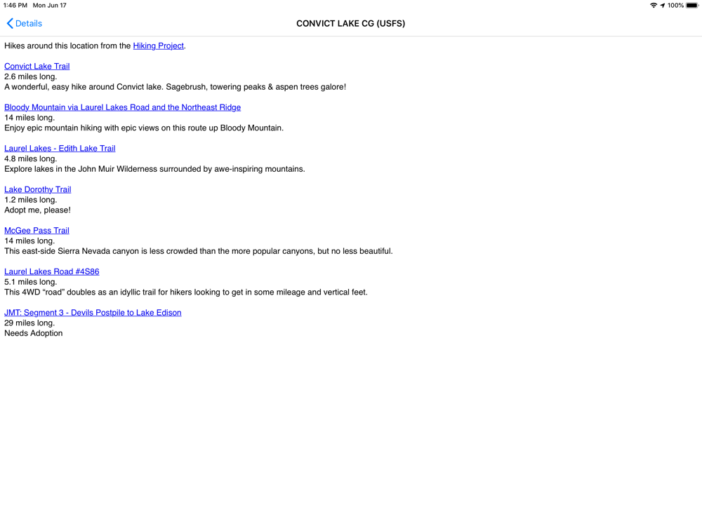
- Find hikes around the campground from www.hikingproject.com
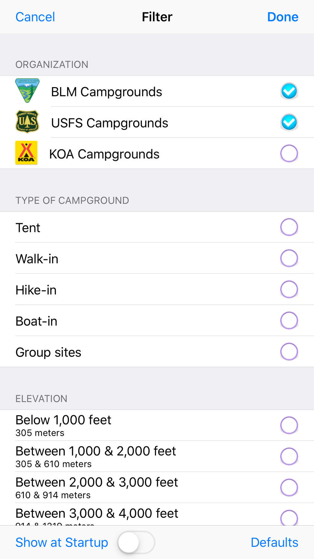
Bonus! Includes over 480 KOA (Kampground of America) locations (if desired, these locations can be removed via the Filter).
 en
en
 English
 Español
 Русский
 Deutsch
 Français
 العربية
 Italiano
 Türkçe
 Polski
 Português
 Indonesia
 日本語
日本語