The Vaarkaart Friese Meren is the perfect app for when you go sailing on the Frisian Meren.
Ideal if you have rented a boat, but also for skipper and crew of sailing boats, motor boats and sloops on the Frisian Lakes. Even if you go sailing in a canoe or kayak or go fishing on the lakes of Friesland.
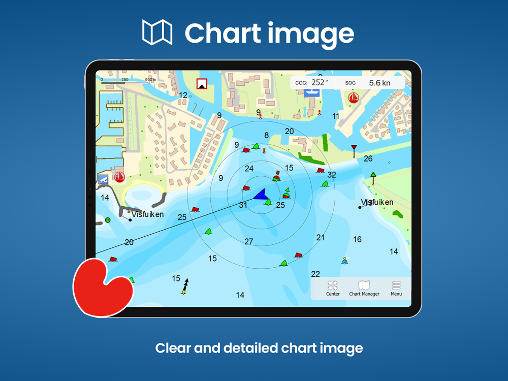
This app contains the DKW Vaarkaart Frisian lakes: a very detailed water chart that covers a large part of Friesland, from Stavoren to Grou.
Navigate with this water chart on the Heegermeer, Fluessen, Morra, Oudegaster Brekken, Zwarte en Witte Brekken, Sneekermeer, Coevorden, Tjeukemeer, Langweerderwiel, and Pikmeer / Wijde Ee.
With this app you can:
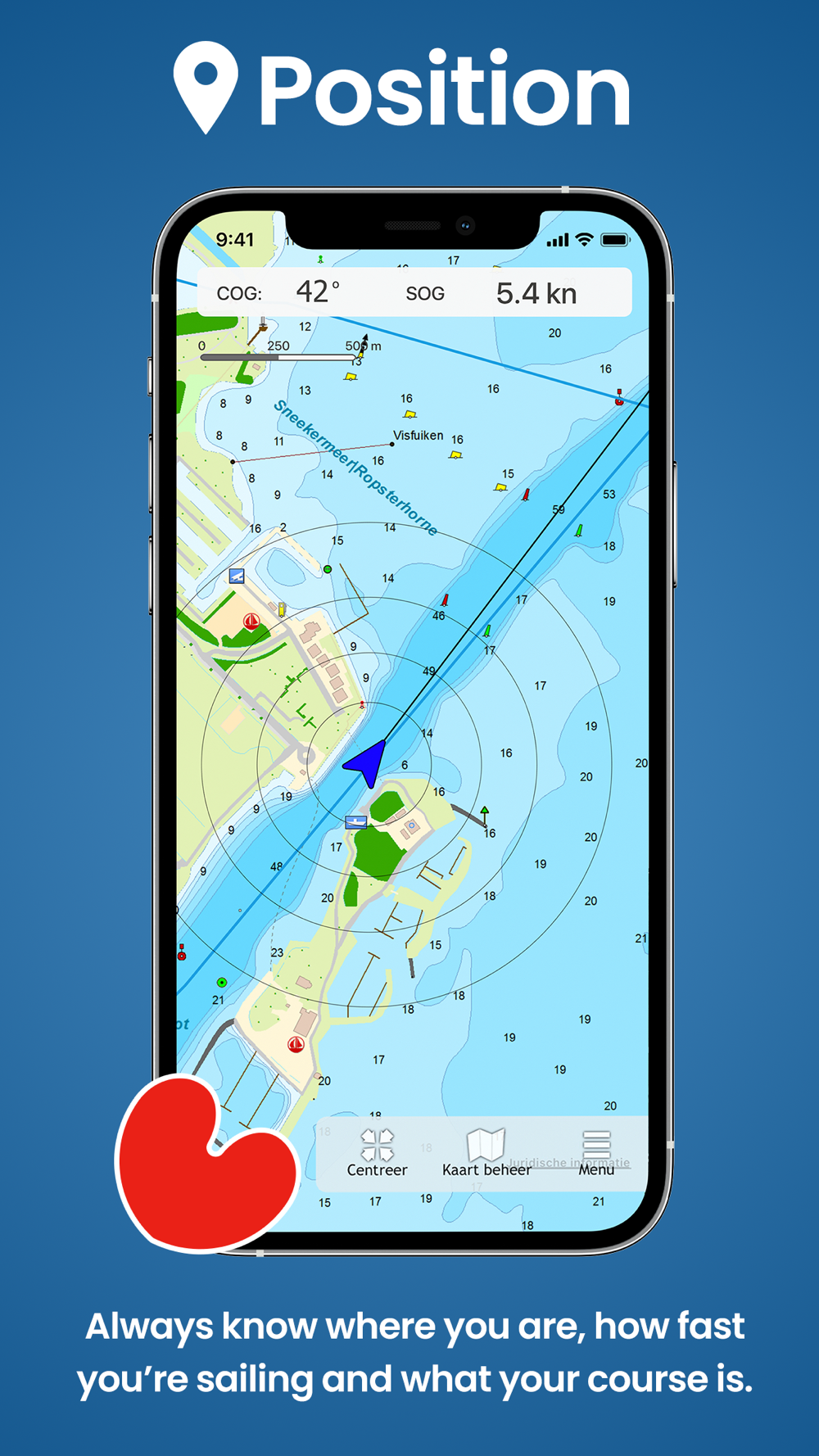
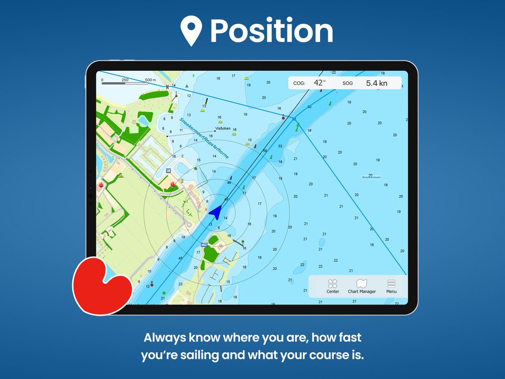
- always see where you are, how fast you are sailing and what your course is with the help of a GPS (internal or bluetooth).
- place and sail to a navigation waypoint using the course line, Course to Steer and Distance to Go.
- view your sailed tracks on the chart.
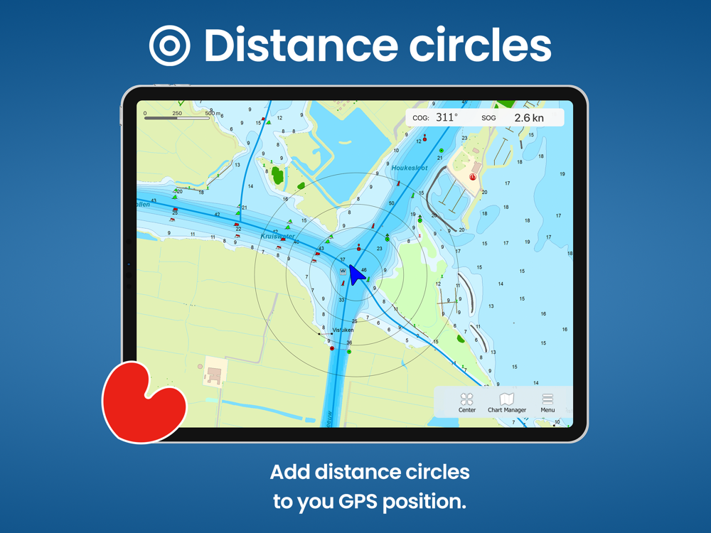
- show distance circles around your GPS position.
- Waterway network: View the information of the bridges, locks and waterways.
This is a very detailed chart with a scale of 1 m/pixel. This compares to about 1 in 3,000 on the screen. In total there are 3,393 waypoints on the DKW Vaarkaart Friese Meren, including buoys, marinas, moorings, Marrekrite berths, diesel filling stations, water sports campsites, mooring buoys, slobbers, rigging jetties and VHF channels.
With the detailed depth image from the Frisian Lakes Project in beautifully colored depth planes on the lakes and depth figures along the waterways. Developed by Stentec in collaboration with Province of Fryslân based on the most recent depth measurements.
 ar
ar
 English
 Español
 Русский
 Deutsch
 Français
 العربية
 Italiano
 Türkçe
 Polski
 Português
 Indonesia
 日本語
日本語