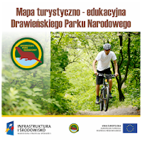
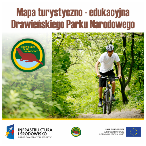
"Map of tourist and educational DPN" is an application that allows you to reach a lot of information about Drawa National Park and the surrounding area.
The application is designed for visitors to the Park, which use the designated trails and paths have a need to access information about Drawa National Park.
The "Map of tourist and educational DPN" was established within the framework of the project "Protection Plan DNP", no POIS.05.03.00-00-272/10 co-financed by the European Union from the European Regional Development Fund under the Operational Programme Infrastructure and Environment Action 5.3. Priority V. The project was implemented from 1 January 2011 to 30 June 2014, and the total value of PLN 2 560 499.69 zł, with the funding from the European Regional Development Fund is 2 176 424.73 zł. The project has developed a draft plan for the protection of DNP and draft plans for conservation tasks Natura 2000 "Forests Forest on the Drava" - PLB320016 and "Uroczyska Drawska" - PLH320046. More about the project at:
http://planochrony.dpn.pl
Author application, which the company Taxus IT Sp. z oo, supports various IT projects broadly related to environmental protection - especially GIS in forestry work in the field of GPS / GLONASS. We invite you to familiarize yourself with the products and services on the web:
http://www.taxusit.com.pl
The application uses map data provided by external services:
- Map Geoportal.gov.pl - http://www.geoportal.gov.pl
- Map UMP-pcPL - http://ump.waw.pl
- Numerical model of the area - http://srtm.csi.cgiar.org
 en
en
 English
 Español
 Русский
 Deutsch
 Français
 العربية
 Italiano
 Türkçe
 Polski
 Português
 Indonesia
 日本語
日本語