Dear Friends Pilots,
Airports Maps is an application designed to simplify your flights.
This application requires VAC Atlas Viewer application on your device otherwise you won't have any data on the map.
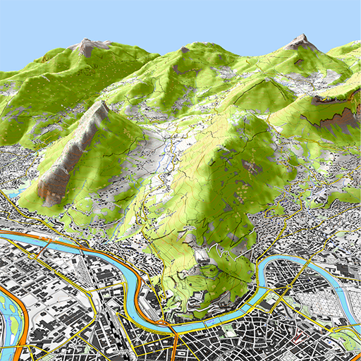
Airports Maps allows to view VAC Atlas Viewer's data on Google Maps. You can see on France map the position of the different airfields (open to public, restricted, mountain, helicopter).
Here is an overview of the differents features :
- View on Google Maps, airfields from VAC Atlas Viewer.
- Visualization of data with VAC Atlas Viewer.
- Display filters.
- Interface in French and English.
- Free application, ad free !
Good flights.
Stéphane (Pilot @ LFLG).
 en
en
 English
 Español
 Русский
 Deutsch
 Français
 العربية
 Italiano
 Türkçe
 Polski
 Português
 Indonesia
 日本語
日本語