Point Data Collector collects data in SHP or GeoPackage format within QGIS project file. Point Data Collector includes offline point data collection and displaying CAD, GIS, raster data and online maps in QGIS 3 project format. Point Data Collector supports QGIS 3 projects. (qgs, qgz)
Features:
- Projects:
→ Create unlimited projects for collecting points in SHP or GeoPackage formats with coordinate system code (EPSG code).
→ You can also prepare a projects in QGIS on desktop with geospatial data. Import CAD, GIS, raster data or add online map services in QGIS. And transfer the data folder to Surveying_Calculator/projects folder on your device. Select the project in Projects and start survey.
→ Collect unlimited points with "name" and "description". You can record your location or any place you want.
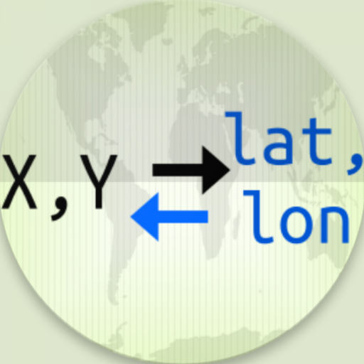
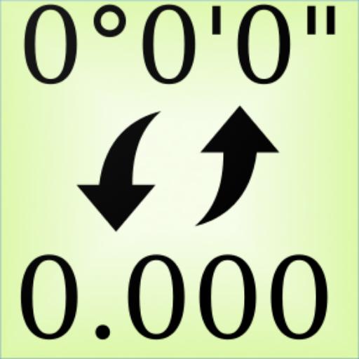
→ Add point with coordinates ( x, y or latitude, longitude).
→ Make surveying easy using QGIS projects.
→ It is possible to include geospatial data to display maps on this app in QGIS project format;
→ Raster (GeoTIFF, DEM, JPEG, PNG, GRD, XYZ, ..),
→ CAD (DXF, DGN v7),
→ GIS (ArcGIS shp, Google Earth (kml, kmz), GeoJSON, GPX..),
→ Online map services (Open Street Maps, Hybrid Maps, Satellite Maps, Terrain Maps..) Online maps can be prepared using QuickMapServices plugin in QGIS. You can add Open Street Maps, hybrid or satellite maps in QGIS project for Point Data Collector.
→ Geodatabase (GeoPackage, Spatialite) formats in QGIS projects.
- Coordinate System support:
→ Supports 5000 different EPSG coordinate systems.
→ User can search a coordinate system with country name or coordinate system name on epsg.io site. And user can create projects with a proper EPSG code.
→ The coordinate system can be projected ( in feet or meters units) or geographic (in degree)
 en
en
 English
 Español
 Русский
 Deutsch
 Français
 العربية
 Italiano
 Türkçe
 Polski
 Português
 Indonesia
 日本語
日本語