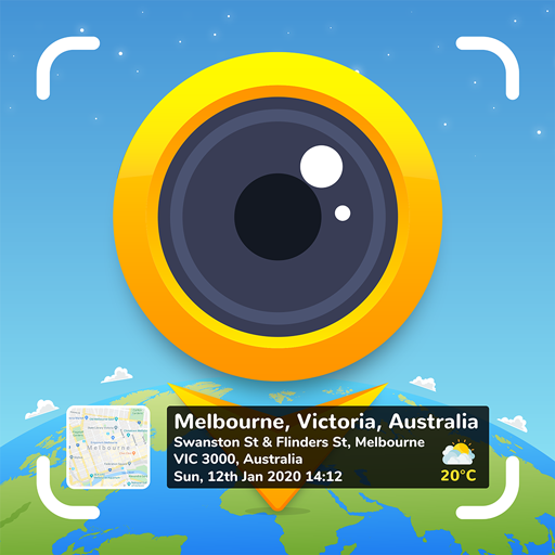
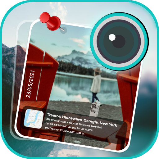
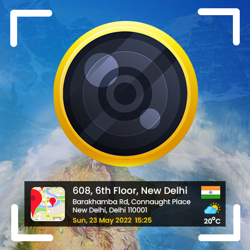
Taking photograph a waypoint/object then add UTM coordinates or geographical location. (Support collecting data for Civil Surveyor, LAND SURVEYOR, Civil Engineer, Environmental Engineer, Transportation/Traffic Engineer, GIS Engineer)
The typical functions of UTM Camera:
★ UTM Map Camera - Geo Camera: View your photos and their geo positions on a world map
★ UTM Map Camera - Geo Camera: Manage images with information: location, address, orientation, compass, magnetic fields,...
★ UTM Map Camera - Geo Camera: Automatically determine current position then calculate the coordinates of object on picture.
★ UTM Map Camera - Geo Camera: Support many common coordinates systems
★ UTM Map Camera - Geo Camera: you can add your private coordinates systems
Premium version: No ads, unlimited projects
 en
en
 English
 Español
 Русский
 Deutsch
 Français
 العربية
 Italiano
 Türkçe
 Polski
 Português
 Indonesia
 日本語
日本語