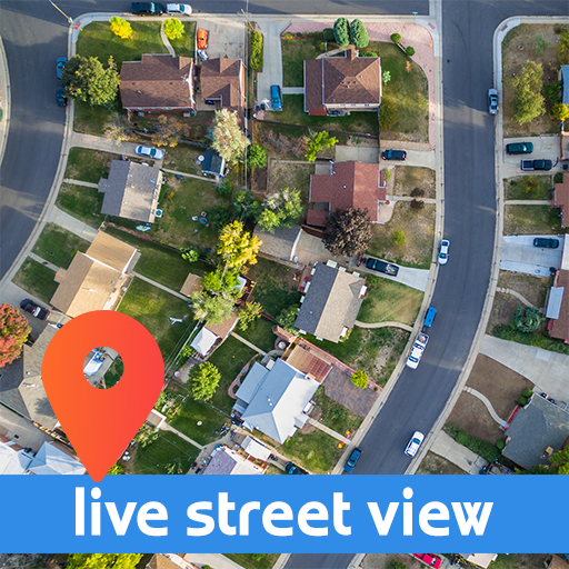
Do You like to explore an interesting places? Or maybe you are looking for location, where you will go? It is worth to go there? What is waiting for you? Usually you are using Google Street View, but you always knew that something is missing. Dynamic? Moving? Live view? This application is for You! Here it is! Alternative presentation for Google Street View. It's Street Live Video enhancer!
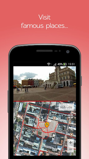
There are two windows on the screen. Upper - with live video from selected location, and lower with roads and place localization on satellite maps. The red lines mean routes, along which you can navigate in the Street Live Video. You can start/stop by tap on movie. If you want to navigate into another location - just touch the red route at choosen area or drag cursor with a cyclist.
A standard satellite maps functions: zoom in/zoom out (+/- buttons) also works. Besides you can use gestures:
- double tap on a satellite maps - zoom in
- two finger pinch/stretch on a satellite maps - zoom in/zoom out
- satellite map moving with one finger
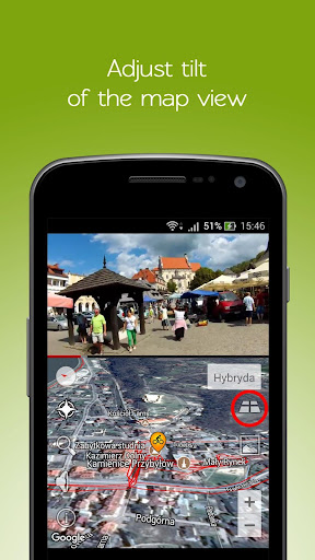
- moving two fingers up/down on a satellite maps - tilting (2D/3D)
There are buttons on both sides. Using buttons on the left you can:
- find the cursor on a satellite maps when you loose him (in playing mode - tracking of current location)
- find a location by name. If a place exist in Street Live Video database - app will navigate in live video from that place. If not in database, but exist in real - satellite maps will navigate into a chosen location
- display statistics: length of all Street Video routes / movies in kilometers and in hours
Using buttons on the right side you can:
- change view type: road, satellite, terrain, hybrid
- tilting satellite map 2D/3D (remember, that you can do it with gestures too)
- jump into a gallery with a lot of links to interesting locations. This gallery is something like shortcuts into exploring and discovering of a new places. When You tap one of the images You will navigate into a destination area.
- zoom in/zoom out Maps with the standard buttons
Additionaly, during maps rotation, a compass icon will be displayed in the top right corner of the map. Tap on compass icon, when you want to align the north direction with a vertical map edge.
A Street Live Video window is too small? There is no problem! Just rotate Your device into a horizontal position and video will be displayed in fullscreen mode.
Actually there is 2292km of tracks from Eastern Europe in a Street Live Video system. Total time of watching these tracks is 92 hours and 6 minutes. There is also a web version of Ponti Street Live Video. Visit us on http://pontistreetvideo.com
Facebook: https://www.facebook.com/pontistreetvideo/
Twitter: https://twitter.com/pstreetvideo
 en
en
 English
 Español
 Русский
 Deutsch
 Français
 العربية
 Italiano
 Türkçe
 Polski
 Português
 Indonesia
 日本語
日本語