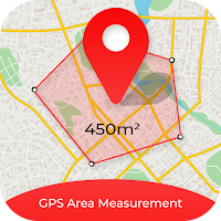
GPS Area Distance Measurement used to measure distance & area between two or more points.
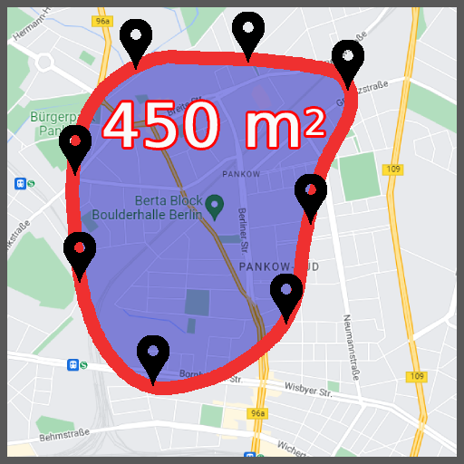
Now you can measure routes, land and fields area on the maps.
One click to measure land area to calculate in different unit converter.
GPS Area to finding distance of areas.
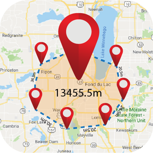
Calculate distance between multiple points on map.
Measure fields, plots, route distance, land survey, fencing for agricultural land, garden, farms etc.
Features :-
* GPS area distance measurement.
* Map distance area calculator.
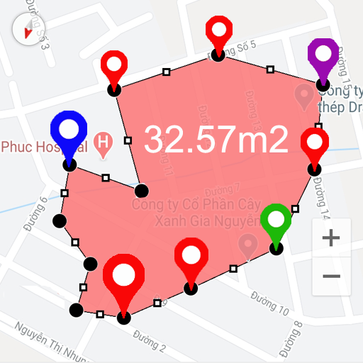
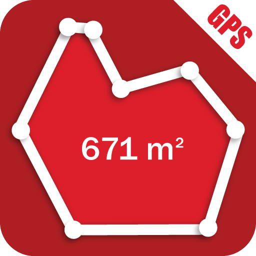
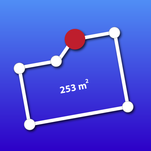
* Easy to Calculate area on map.
* Draw area over the map.
* Save favorite measurements as history.
* Calculate land area.
* Measure distance in different unit converter.
* Draw path between locations to measure.
* Calculate area more than two points also.
Permissions :-
* Location permission - Get current location & draw path on map.
 en
en
 English
 Español
 Русский
 Deutsch
 Français
 العربية
 Italiano
 Türkçe
 Polski
 Português
 Indonesia
 日本語
日本語