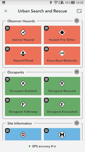
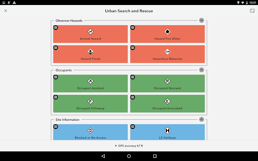
ArcGIS QuickCapture is the simplest way to capture field observations. Record GIS data with a single tap on your device. Automatically send locations, photos, and other attributes back to your office in real time. It’s integrated with ArcGIS, you can effectively visualize data you’ve never had access to before.
- Arcade expressions for field calculations are supported. - Web map layers can be turned off and on. - Autosend intervals of 1, 5, 10, and 30 minutes have been added.
~Esri
1.18.94
- Arcade expressions for field calculations are supported. - Web map layers can be turned off and on. - Autosend intervals of 1, 5, 10, and 30 minutes have been added.
 en
en
 English
 Español
 Русский
 Deutsch
 Français
 العربية
 Italiano
 Türkçe
 Polski
 Português
 Indonesia
 日本語
日本語