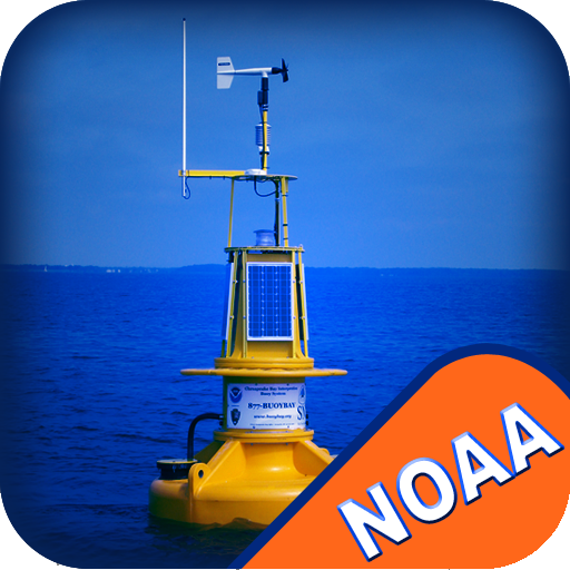
NOAA Buoy is the preferred resource for boating, sailing, diving and fishing.
An excellent tool to aid marine navigators.
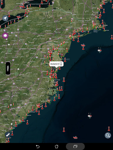
Shows the ship location in real time and providesinformation about buoys, lighthouses, oilrigs, Tsunami indicators, T.A.O on the world map.
All buoy stations &shipsare displayed on the world map based on the user’s current location while boating.
Sailors & Mariners can find the nearest buoy station &ships showing station name, ship name, date, time along with their respective icons.
Location search and Global positioning system
Locates the present position and shows the nearest station information
Provides information about:
Atmospheric Pressure, Air Temperature, Water Temperature, Tide Information, Wind Directions, GPS Information, Location Search, Ship Navigation
A must for boaters, sailors and anglers.
About This App:
User friendly and easy to handle
All buoy stations and ships are shown on the map based on the user’s current location
By taping on the Icons detailed information is displayed
By taping on GPS Icon the present location on the mapis shown
NOTE :
“ The information provided on this app is for reference only .”
“ Continued use of GPS running in the back ground can decrease battery Life”
“Turn off GPS when not in use”
 en
en
 Español
 Русский
 Deutsch
 Français
 العربية
 Italiano
 Türkçe
 Polski
 Português
 Indonesia
 日本語
日本語