The GPS Distance Land Area Measure app is useful to calculate GPS area and GPS distance excellently accurately. You can use POI to specific point locations. Easily determine measurements using GPS or manual measurement methods.
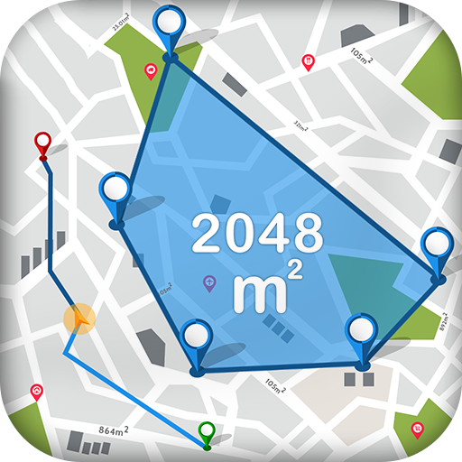
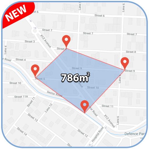
By using this GPS Distance Land Area Measure app, you can measure any place or land area on a map by being at your current location. In short you can select the area you want to measure on the map.
GPS Distance Measure helps you to calculate the distance between two or more points anywhere on the earth. Here you can also choose the places from where you want to measure the distance.
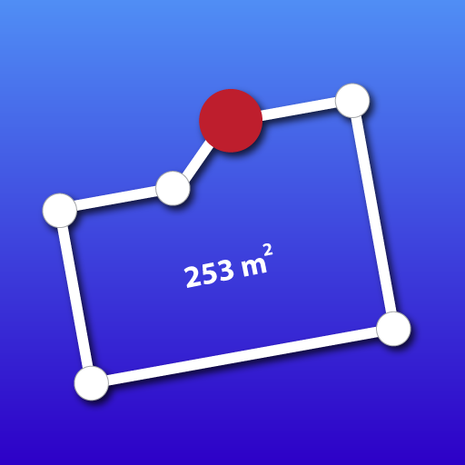
For distance and land area measurement, you can just click on the map to place the first marker and then click again to position the second marker, through this you can mark the places you want to measure. Correcting mistakes is easy – simply delete any misplaced points. Zoom in on locations for a closer look if needed.
Save your measurements easily after completing calculations. Just enter a name and description for the measurement field, and you can even enhance it by adding images from your camera or gallery.
With the POI(Place Of Interest) you just select the locations and it will show you the latitude and longitude of the choosen locations. You can also save it.
Key Features:
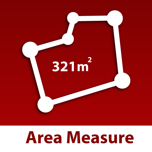
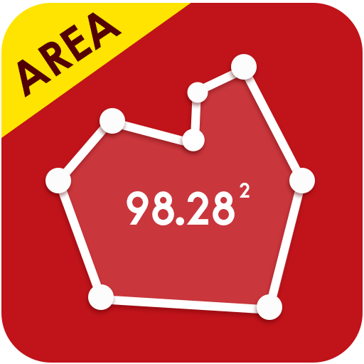
-> Effortlessly measure the size of any area with this simple and user-friendly tool
-> Discover the ideal size for any land or area with our Land Area Measure tool – easy and efficient
-> Effortlessly measure areas with manual and GPS methods for accurate results
-> Save, edit, and modify any selected area using our intuitive editing tools
-> Easily save measurement files by importing photos – a simple and effective way to keep track
-> Discover the distance between two places using our user-friendly manual and GPS measurement tool
-> Easily locate Points of Interest (POI) using manual and GPS measurements – simple and effective
-> Easily switch between map types – choose from normal, satellite, terrain, or hybrid views for added convenience
-> Realtime measuring and calculating between two or more points
-> Effortlessly move and drop points on a map with a simple touch
In the GPS Distance Land Area Measure app, the map can be changed to normal, satellite, terrain, or hybrid. You can also edit your saved measurements.
 en
en
 Español
 Русский
 Deutsch
 Français
 العربية
 Italiano
 Türkçe
 Polski
 Português
 Indonesia
 日本語
日本語