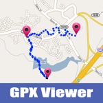
Distance,Area draw and Measure On gps Map is an app can easily draw paths, routes, areas, directions, lines, curves, and measures those on Gps map.
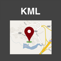
Create,load KML and KMZ files easily.
This app works for offline and online.
Features:
• Measure using Pin, Circle or Drawing options.
• 100% accurate measurements.
• Select different metric units.
• Live Drawing : Calculate as you draw.
• Multiple Map Types.
• Undo functionality.
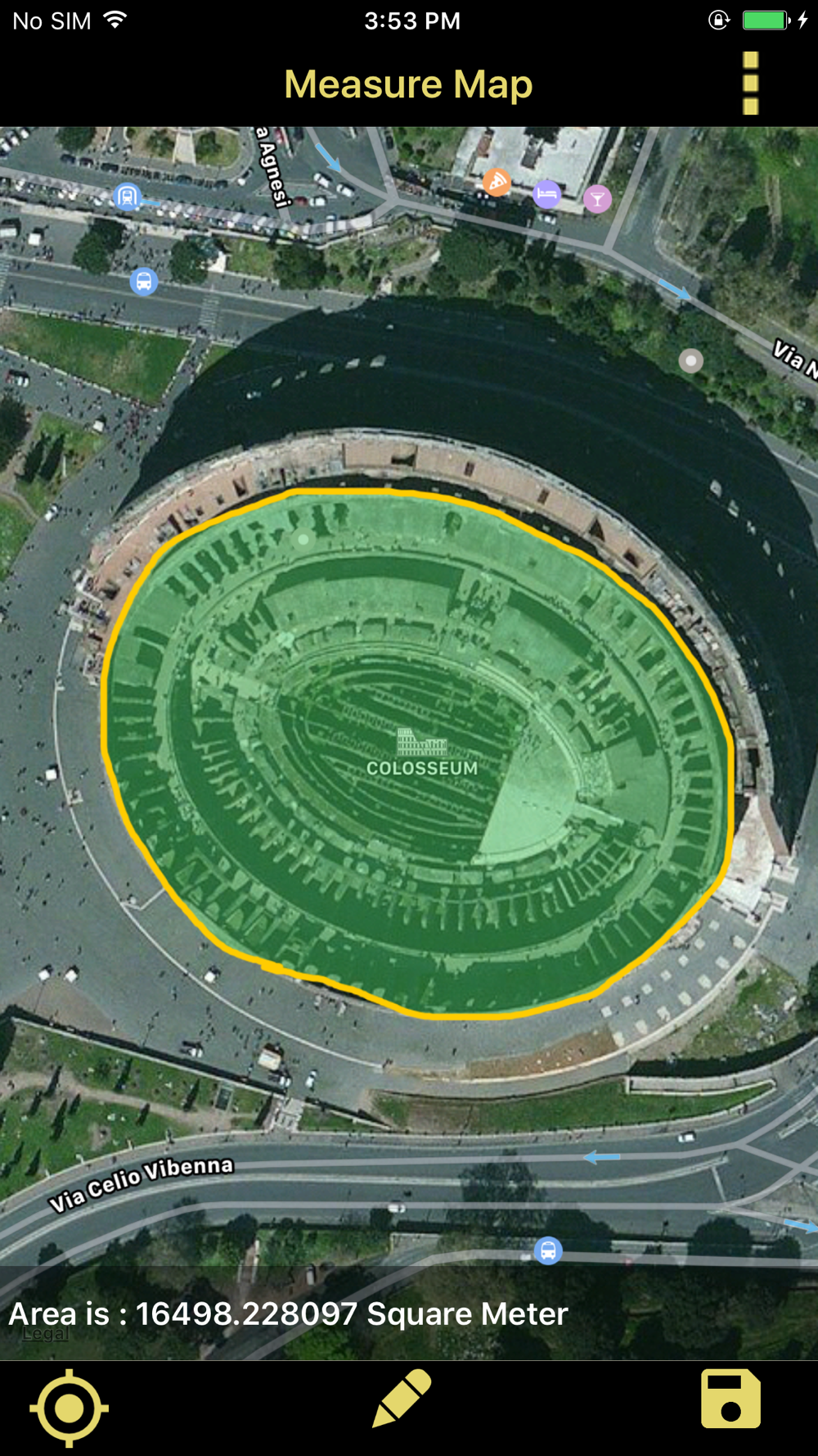
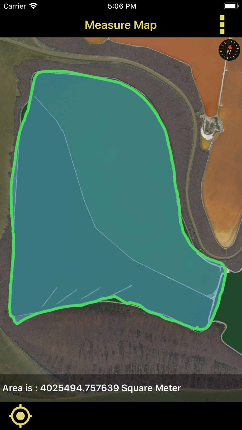
• Calculate the area of a land, Fields, Agricultures, Point to point, lakes, Gardens, Streets, islands,Reservior,stadium,golf clubs,harbor area, parks, farming area, construction area,airports,favourite places, city, etc.
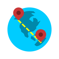
• Calculate the distance of aerial routes.
• High performance and accurate measurements.
• Very intuitive user interface.
App Usage:
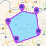
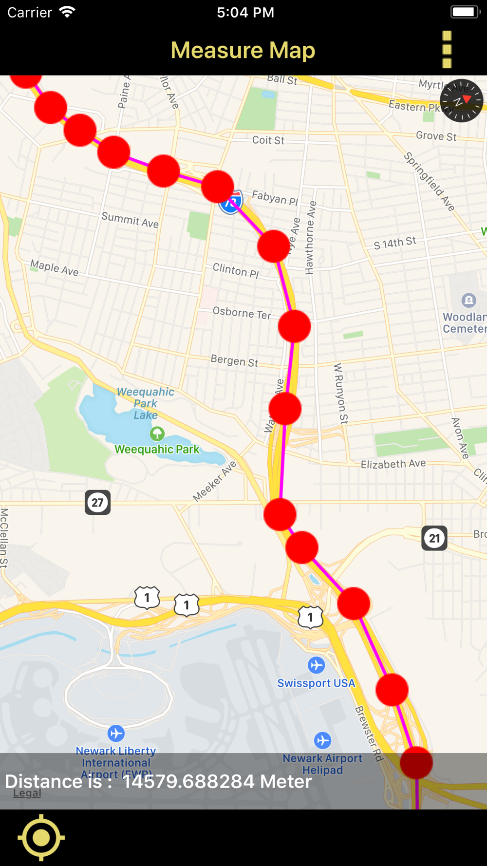
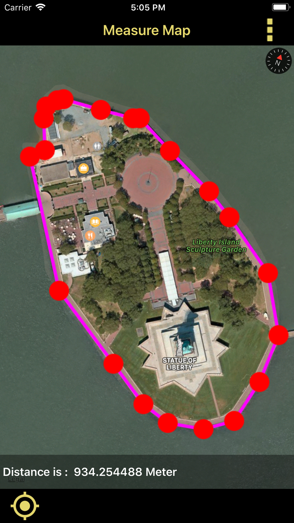
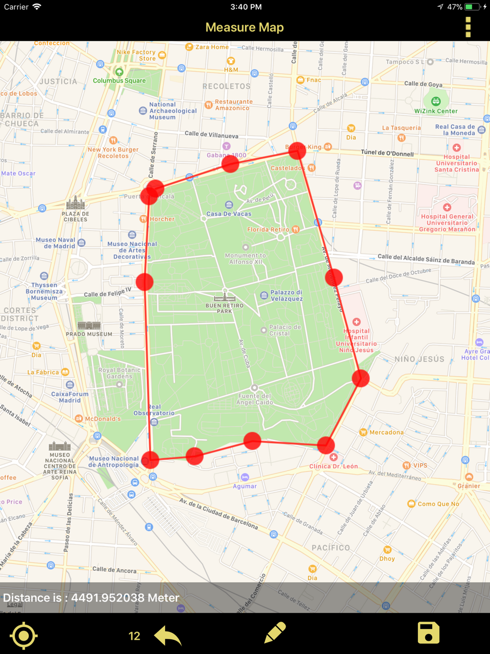
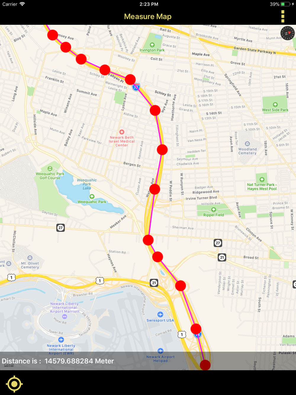
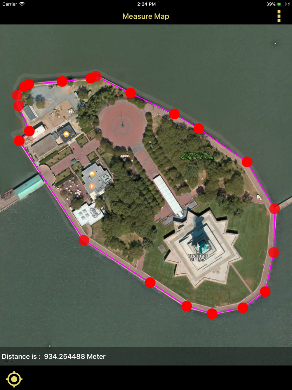
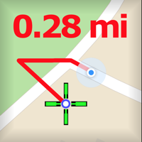
Distance Measure:
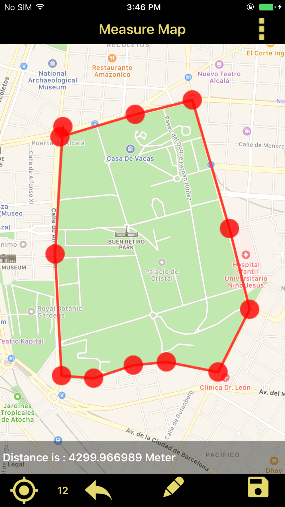
• In menu click Distance Measure and then long press on gps map to add pointers on map, when two pointers are formed the distance between two pointers will be calculated automatically.
• you can see the count of pointers below the bar and it will be in your control.
• you can change the metric units for measurements like meters,kilometers,feet,yard,mile,Nautical miles etc.
• After completion of measurement you can save it for future reference or you can send it to near or dear through mail.
• you can save the file in two formats kml or kmz and send those to others.
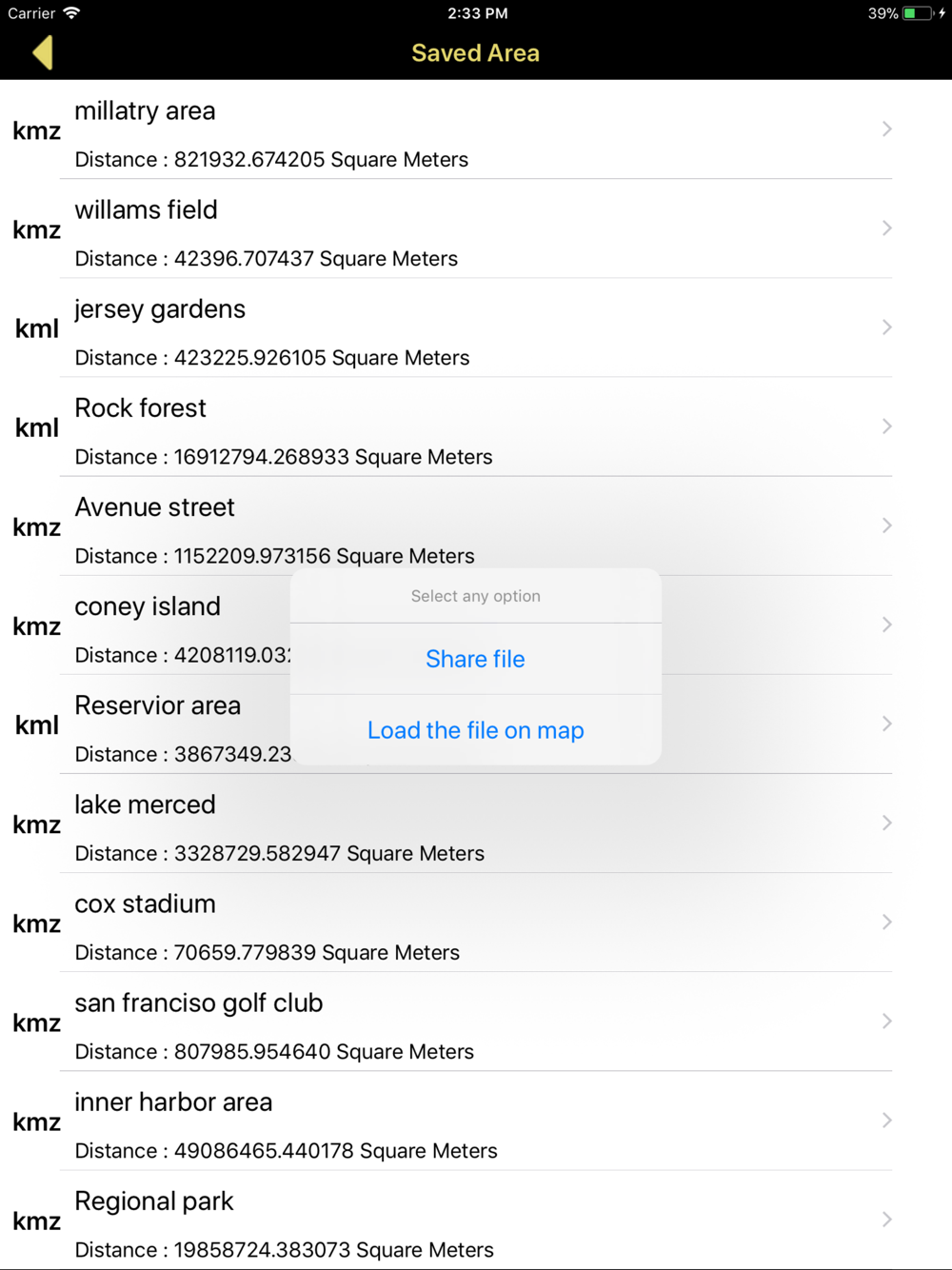
• The saved files will be available in Saved Distance in menu.
• The Saved Distance will be shown in list format and can reload again on gps map.
• Share kml and kmz file to other apps like Email,WhatsApp,Add to Notes,Add to iCloud Drive,Save to files and other apps.
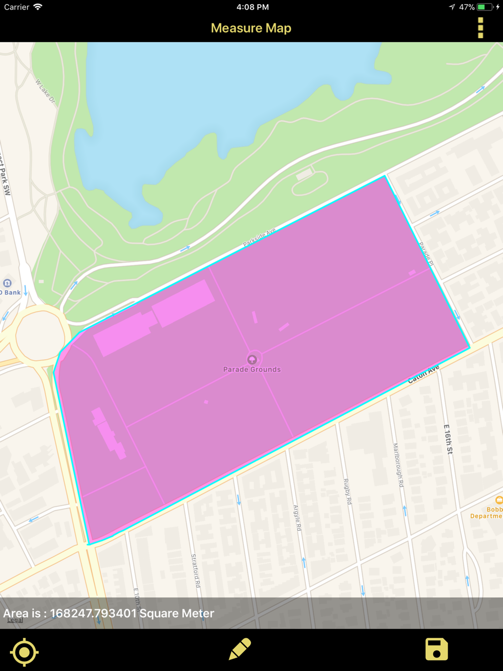
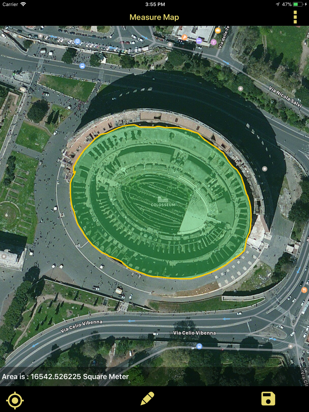
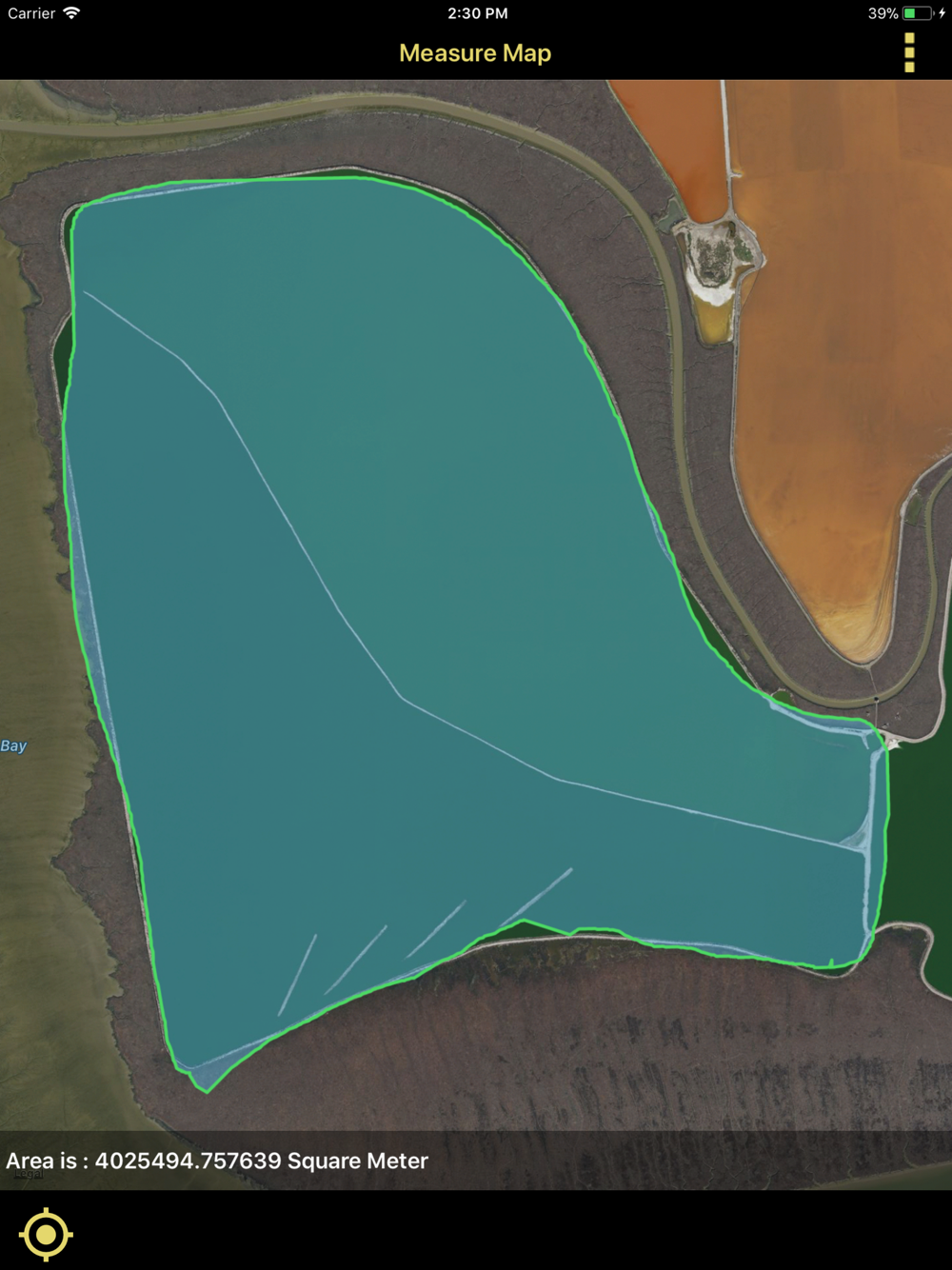
Area Measure:
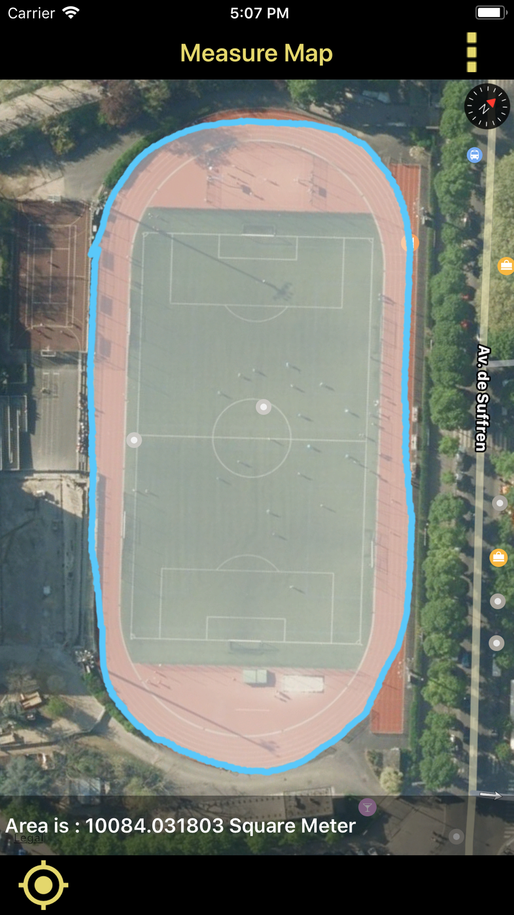
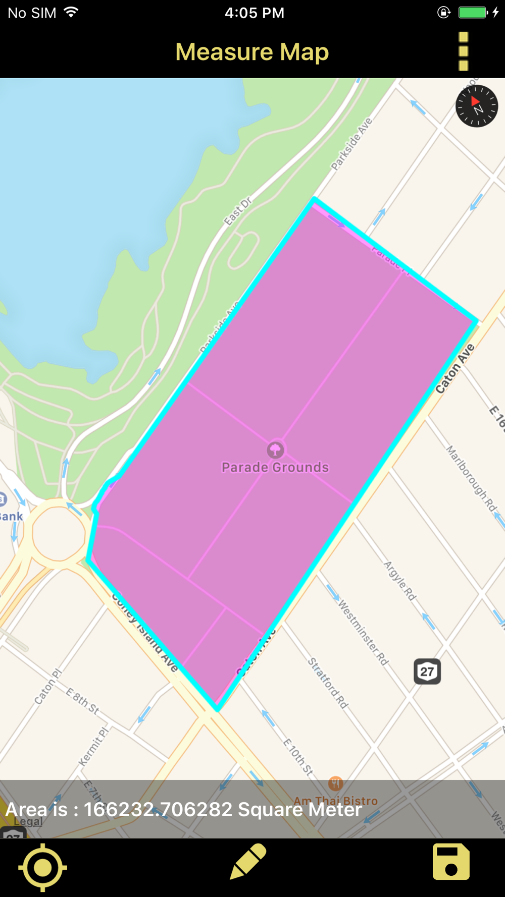
• In menu click Area Measure and freely draw on map, when the starting point and end point touches then measurement will be calculated automatically.
• you can change the metric units for measurements like hectar,acre,square inch, square meters, square kilometer, square yard, square feet, square mile etc.
• After completion of measurement you can save it for future reference or you can send it to near or dear through mail.
• you can save the file in two formats kml or kmz and send those to others.
• The saved files will be available in Saved Area in menu.
• The Saved Area will be shown in list format and can reload again on gps map.
Available Settings
• User can change Multiple Map types.
• change line color
• change polygon color
Note:
1)This app contains Rich UserInterface.
2)This app contains less labels on map, and more on Menu bar.This helps user easy interaction on Map.
"Continued use of GPS running in the background can dramatically decrease battery life."
--------------------------------------------------------------------------------------------------------------------------------------------------------------------------------------------------------------------------------------------------------
 en
en
 Español
 Русский
 Deutsch
 Français
 العربية
 Italiano
 Türkçe
 Polski
 Português
 Indonesia
 日本語
日本語