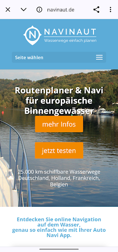
The Navinaut app is a versatile online route planner and GPS chart plotter specifically for skippers who want to sail European inland waters. With a database of over 25,000 kilometers of navigable waterways in countries such as Germany, the Netherlands, Belgium and France, Navinaut enables comprehensive planning and navigation for boat trips.
You can select start and destination locations using a simple search function, with important information provided about ports, locks, gas stations and bridges along the route. The app takes into account individual boat data such as draft and clearance to ensure the suggested route is appropriate. In addition, the integrated GPS tracker function provides continuous updates about the current location on the waterway.
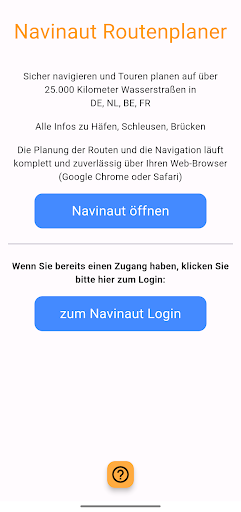
With this app you get easy access to the Navinaut system on the website. Navianut can also be easily accessed from any device via your web browser (Chrome etc.) without any installation.
 en
en
 English
 Español
 Русский
 Deutsch
 Français
 العربية
 Italiano
 Türkçe
 Polski
 Português
 Indonesia
 日本語
日本語